WINGIS 2010.1

Free Powerful, cost-efficient GIS software with access to worldwide geographic data like satellite and aerial images
5 
Rating
Your vote:
Latest version:
2010.1.1 See all
Developer:
Progis Software GmbH
Screenshots
1 / 3
Awards (1)
Show all awards
Recommended by Software Informer award
Request
Download
link when available

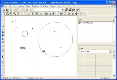
WinGIS is a powerful and cost-effective Geographic Information System (GIS) software with numerous geographic application capabilities and features. It includes the integration of Microsoft Bing Maps as an "embedded module," providing access to global geographic data such as satellite and aerial images, road maps, and address databases.

Comments

5 stars
4
4 stars
0
3 stars
0
2 stars
0
1 stars
0
User

Your vote:

Suggestions

  • Satellite map
  • Download free gps map satellite
  • Map satellite location
  • Satelite map software